01
Aerial landscape
Oregon Coast
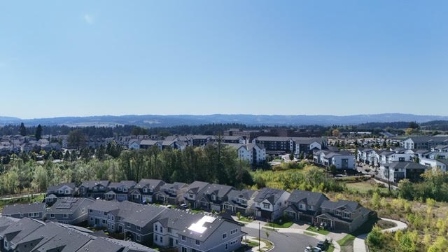
Coastline study
A high, spare look at the meeting point of forest, dune, and Pacific. Built as a visual direction sample for outdoor editorial work.
Location notes
Field work / SELECTED FRAMES
A documentary-style selection of aerial frames shaped by coastlines, rooflines, weather, and the spaces between them.
01
Aerial landscape
Oregon Coast
A high, spare look at the meeting point of forest, dune, and Pacific. Built as a visual direction sample for outdoor editorial work.
Location notes02
Property story
Portland
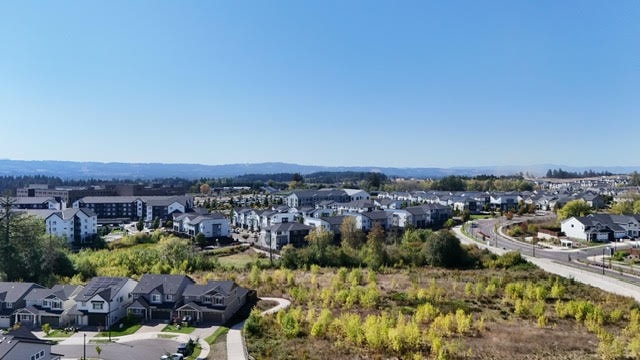
A property-focused frame that uses trees, streets, and terrain to tell the whole location story, not just the address.
Location notes03
Outdoor event
Western Oregon

A wide field view designed to hold movement, spectators, and the energy of a live outdoor moment.
Location notes04
Inspection detail
Western Oregon

A direct overhead record of a working surface, photographed for practical review and clear visual documentation.
Location notesWork in progress
This gallery currently shows Falkor’s visual direction samples. Approved project work will replace these frames as it is cleared for release.
Have a location in mind?
Tell me what the landscape needs to say and I’ll plan the aerial approach around it.